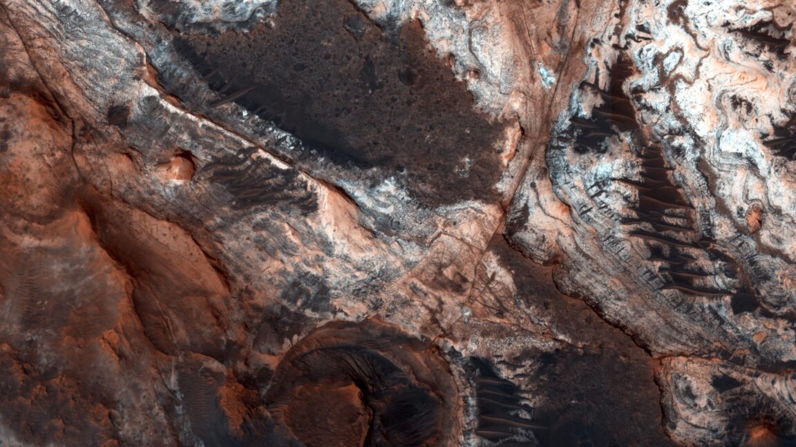
For decades, we have been imaging the surface of Mars with ever-finer resolution, cataloging a huge range of features on its surface, studying their composition, and, in a few cases, dispatching rovers to make on-the-ground readings. But a catalog of what’s present on Mars doesn’t give us answers to what’s often the key question: how did a given feature get there? In fact, even with all the data we have available, there are a number of major bits of Martian geography that have produced major academic arguments that have yet to be resolved.
In Monday’s issue of Nature Geoscience, a team of UK-based researchers tackle a big one: Mars’ dichotomy, the somewhat nebulous boundary between its relatively elevated southern half, and the low basin that occupies its northern hemisphere, a feature that some have proposed also served as an ancient shoreline. The new work suggests that the edge of the dichotomy was eroded back by hundreds of kilometers during the time when an ocean might have occupied Mars’ northern hemisphere.
Close to the edge
To view the Martian dichotomy, all you need to do is color-code a relief map of the Martian surface, something that NASA has conveniently done for us. Barring a couple of enormous basins, the entire southern hemisphere of the red planet is elevated by a kilometer or more, and sits atop a far thicker crust. With the exception of the volcanic Tharsis region the boundary between these two areas runs roughly along the equator.
